The Piri Reis Map: Enigma or Historical Inaccuracy?
Piri Reis Map: Ancient Antarctica or Cartographic Mystery?
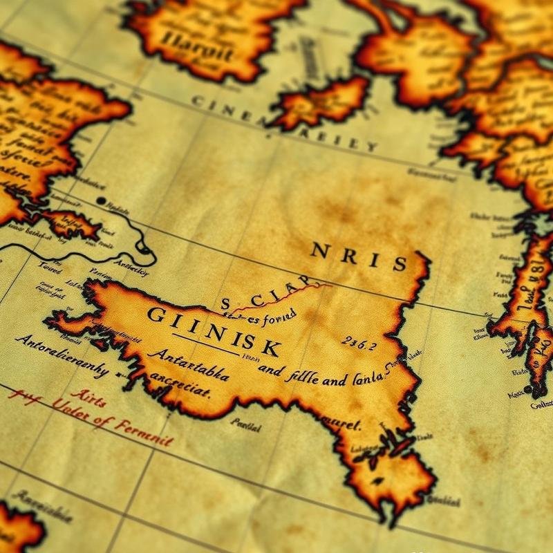
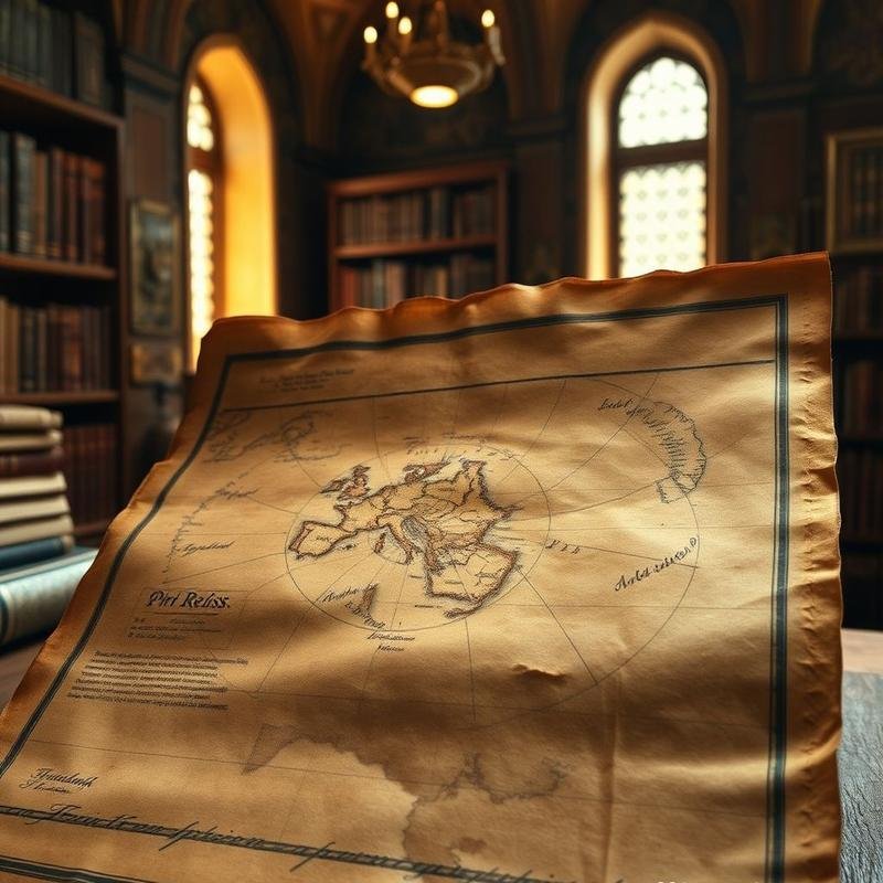
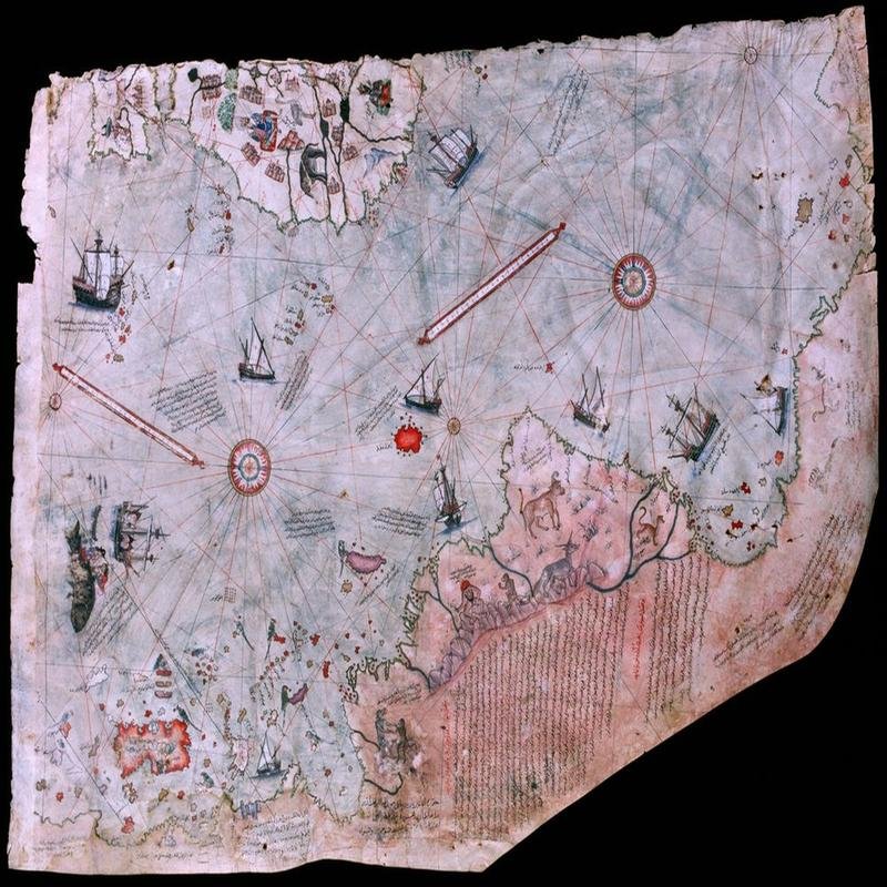
The Piri Reis Map: Enigma or Evidence? In 1929, a captivating antique map surfaced in Istanbul’s Topkapi Palace, bearing the signature of Ottoman Admiral Piri Reis and dated 1513. The map meticulously depicted the coastlines of South America, but its true intrigue lies in its portrayal of what appears to be Antarctica, centuries before its documented discovery. Some interpret it not merely as a map, but as compelling evidence of a lost, advanced civilization, or ancient knowledge obscured by time. However, does this map definitively prove Ottoman awareness of the Antarctic landmass? Or is it instead a product of misinterpretations and a skillful synthesis of the geographical knowledge accessible at the time? This is the question we aim to address.
Who Was Piri Reis?
Before examining the specifics of this controversial map, it is crucial to understand the figure of Piri Reis himself. Ahmed Muhiddin Piri, born in the Ottoman city of Gallipoli around 1465, was not only a cartographer but also a distinguished naval admiral and military commander in the Ottoman fleet. He accompanied his uncle, Commander Kemal Reis, on numerous naval campaigns, acquiring extensive experience in navigation and cartography, and participating in pivotal naval engagements. Following his uncle’s death, Piri Reis temporarily retired from naval service, dedicating himself to the study of maps and the creation of his renowned “Kitab-i Bahriye” (Book of Navigation), a comprehensive maritime encyclopedia containing detailed maps and valuable navigational information pertaining to the Mediterranean Sea.
The Sources Behind the Map
After committing himself to the study of maps, Piri Reis immersed himself in analyzing the wealth of geographical information available during his era. He did not limit himself to his own work, but stated in the introduction to his map that he drew his information from diverse sources. A vast repository of geographical knowledge was embodied in a single map. Piri Reis referenced ancient maps dating back to the time of Alexander the Great, and even earlier. These maps, possibly copies of ancient Greek works, provided him with a perception of the world dating back centuries. Furthermore, Piri Reis utilized Arab, Indian, and Portuguese maps, reflecting the active cultural and geographical exchange of that period. His sources extended beyond maps to include accounts from sailors and travelers, valuable resources that provided precise details about the coasts and islands they visited. These accounts, along with the maps, formed the foundation upon which Piri Reis relied in drawing his controversial map.
Antarctica: Coincidence or Evidence?
But were these sources sufficiently accurate to depict the coastlines of Antarctica prior to its official discovery? Can an apparent coincidence be considered conclusive evidence? Some argue that the striking similarity between the purported coastline of Antarctica on the Piri Reis map and modern geological surveys of the continent beneath the ice, which revealed similar terrain, strongly supports this hypothesis, linking the map’s features to portions of Queen Maud Land, currently covered by a thick ice sheet. Does the map depict Antarctica in an earlier epoch, perhaps during an ice-free period? Conversely, critics contend that this coincidence may be purely fortuitous, suggesting that the map simply represents inaccurate depictions of the South American coastlines or undiscovered islands at the time. They emphasize that the absence of other accurate details corresponding to Antarctica, such as wildlife or vegetation, weakens this claim. Skeptics highlight the primitive nature of 16th-century cartographic techniques. Is it not possible that any similarity is attributable to guesswork or measurement errors? Moreover, many of the details resembling Antarctica appear to be the result of later modifications to the map, and are not original to Piri Reis’s work. Is it definitive evidence illuminating the paths of the past, or merely an illusion stemming from our inherent desire to unravel historical mysteries?
Alternative Interpretations: What does the map truly depict?
Perhaps the Piri Reis map is not a depiction of an ice-free Antarctica, but rather a compilation of existing maritime knowledge, speculation, and errors accumulated over time. It is plausible that the coastlines that appear to resemble Antarctica are actually distortions of the South American landmass, specifically the coast of Brazil. Projection errors, resulting from attempts to convert a complex spherical surface into a flat map, may be the primary cause of these apparent distortions. Furthermore, some details may be inspired by other ancient maps, or even by travelers’ tales that were circulated orally, inevitably leading to the conflation of accurate and inaccurate information. In addition, the possibility of imaginary islands, commonly featured on old maps, finding their way onto the Piri Reis map cannot be discounted.
Conclusion: A Masterpiece of Its Time
So, what is the most plausible explanation? Perhaps the Piri Reis map is a complex amalgamation of fact and fiction, reflecting the limited geographical knowledge of the era, as well as the ambitious aspirations of the Ottoman Empire to explore the world. Therefore, are we examining a masterpiece that reflects the ingenuity of Ottoman cartographers? Ultimately, the Piri Reis map is not conclusive evidence of Ottoman knowledge of Antarctica before its documented discovery, but rather a testament to their remarkable breadth of knowledge and their meticulous compilation of the geographical information available during their time. This map reflects the influences of various sources, from ancient Greek maps to contemporary Arab and Portuguese accounts. The map stands out as part of a broader Ottoman legacy in cartography, a legacy that witnessed significant achievements, such as Ali Macar Reis’s detailed maps of the Mediterranean Sea in the eighteenth century, which relied on precise field surveys. The ongoing debate surrounding the map’s accuracy underscores the importance of understanding the historical and cultural context when analyzing ancient documents. It is not merely a geographical representation, but a reflection of the ambitions of an empire seeking to expand its influence and knowledge of the world, even if it includes the incorporation of myths and inaccurate information. It is a story inscribed in the sea and the stars. Consider the Piri Reis map not as evidence of early knowledge of Antarctica, but as a compelling case study in interpretation.